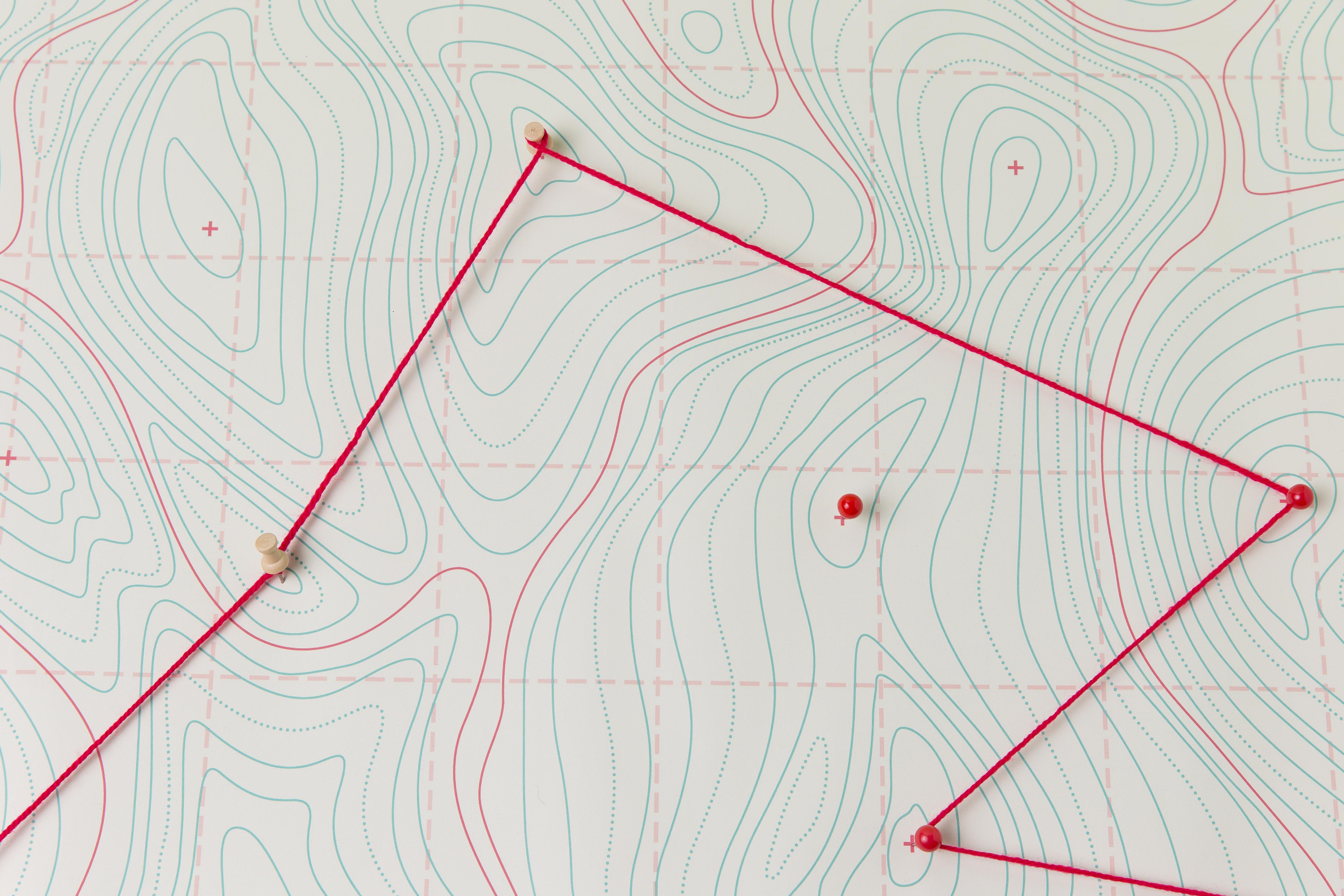
Contour Survey
Many different points on the landscape and keeping them in the same position, which is horizontal. It offers important details about the properties of the site where the building is being considered. The main purpose of it is to make sure that the area that will be utilized to perform construction is equal. Furthermore, it specifies every aspect of the site, such as the trees and water features.
In Zhagaram, our certified professional surveyor who specializes in contour surveys completes the task. The contour map must be accurate. This is crucial because of several of financial decisions that must be determined by the contour map. Saves time and requires fewer human activities because most adjustments and computations are made inside the device and it is simple to set up.
At the exact setting site, many surveys can be conducted and measurements are more exact than those made using traditional surveying methods. It aids the architect in working on the planning of space on the area of land where the residence is being built. This will make it easier to determine how much site preparation must be done before construction can begin. It is simple to store and move the data to a hard drive and also it can be used to computerize old maps.
